«Divide and Conquer» for OpenStreetMap world inside PostgreSQL
I will continue the story "How to put the whole world into a regular laptop: PostgreSQL and OpenStreetMap" with secrets about OpenStreetMap geodata, on which many companies have built their business, but not everyone shares the details... Well, today we will open crucial details.
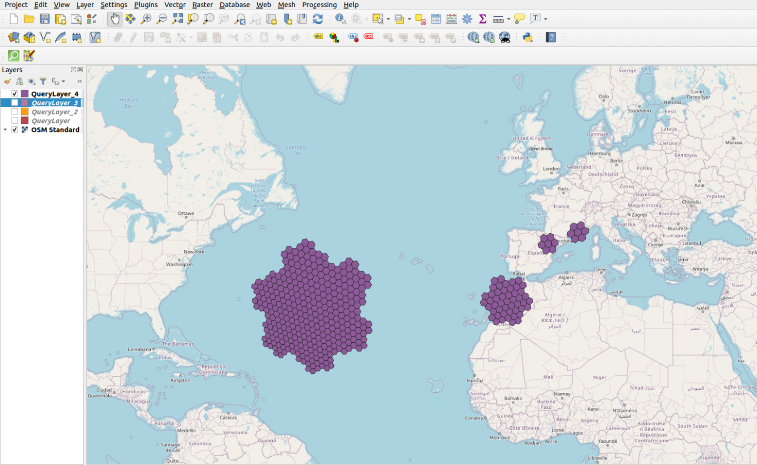
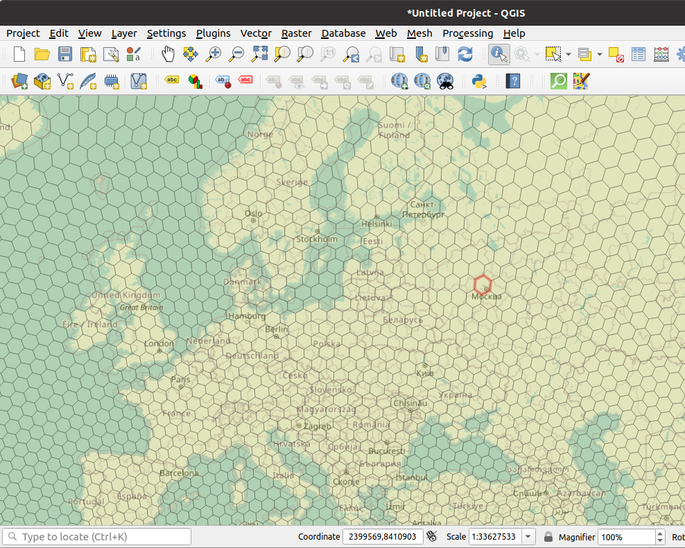
The OSM database in PosgreSQL after loading from the dump takes up more than 587 GB. This is already a large database by the standards of a DBMS, and one huge table for each type of object will not work. For manageability, such data must be partitioned, it's good that PostgreSQL supports declarative data partitioning. It remains only to figure out how to split geographical data. After searching and comparing, the H3 hierarchical hexagonal geospatial indexing system came to rescue. All this was implemented in my openstreetmap_h3 project for fast processing and loading of the world dump into the PostGIS database.
I considered following options from geopartitioning systems...